
OTTAWA — Environment and Climate Change Canada (ECCC) has officially modernized its severe weather warning system to deliver faster and significantly more precise alerts during extreme weather events.
Under the newly launched Convective Alert Modernization (CAM) system, meteorologists can now target warnings specifically to high-risk areas rather than relying on broad, predetermined geographical regions.
Key Upgrades and Features
- Free-Form Polygons: Forecasters can hand-draw custom boundaries (“free-form polygons”) over the exact path and trajectory of an approaching storm.
- Focused Coverage: Reduces unnecessary alerts by up to 70%, ensuring only communities directly in harm’s way receive high-priority notifications.
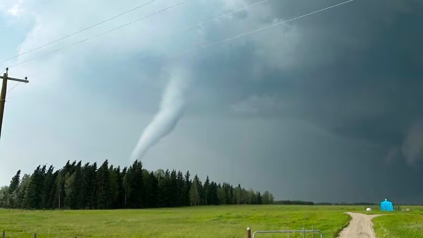
- Current Scope: The targeted polygon alerts apply specifically to tornadoes and severe thunderstorms. Other warnings—such as heat waves or winter storms—will continue using legacy regional zones.
- Delivery Channels: Polygon-based warnings are pushed directly via mobile networks and the WeatherCAN app. Radio and TV broadcasts will retain broader regional alerts due to standard signal coverage limitations.
Mitigating “Alert Fatigue”
By drastically narrowing warning areas, officials aim to combat alert fatigue—a phenomenon where frequent false alarms for unaffected locations cause residents to ignore critical safety notifications.
According to David Sills, Director of the Northern Tornadoes Project, similar polygon-based tracking has been successfully utilized in the United States since 2007 to enhance public trust and safety compliance. Local emergency responders emphasize that keeping alerts precise is essential for maintaining public trust during life-threatening events.