REGINA- Those in Saskatchewan who have grown accustomed to the recent mild weather are in for a sharp return to reality. Environment and Climate Change Canada (ECCC) has issued a special weather statement warning that a significant winter storm system is set to interrupt the province’s brief warm spell this week, bringing heavy snowfall and a return to bone-chilling cold.
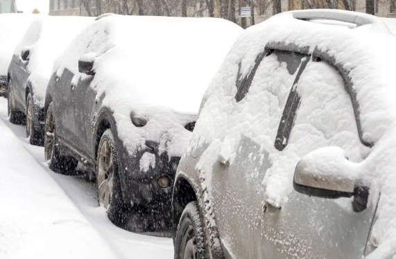
The weather agency reports that a strong low-pressure system will move in starting early Tuesday morning. Most of the southern half of the province—with the exception of the southwest corner—is under advisory. Forecasters expect between 15 to 25 centimeters of snow across much of the region, though some areas could see much higher accumulations. Specifically, the corridor stretching from Meadow Lake southeast toward Yorkton may be hit with 30 to 40 centimeters of snow.
Travel is expected to become hazardous on Tuesday and Wednesday. In addition to the heavy snow, freezing rain is likely along the Trans-Canada Highway and near the Canada-U.S. border. Strong winds will also accompany the system, leading to blowing snow and significantly reduced visibility on major roadways. ECCC has advised residents to prepare for difficult driving conditions and to monitor the Highway Hotline for real-time updates.
Behind this storm system, a mass of Arctic air will settle over the province, ending the mild period. In Regina, daily highs are expected to drop to approximately -15°C by the end of the week, with nighttime lows reaching even more extreme levels. Local authorities are urging residents to ensure their winter gear is ready and to take necessary precautions against the sudden drop in temperature.