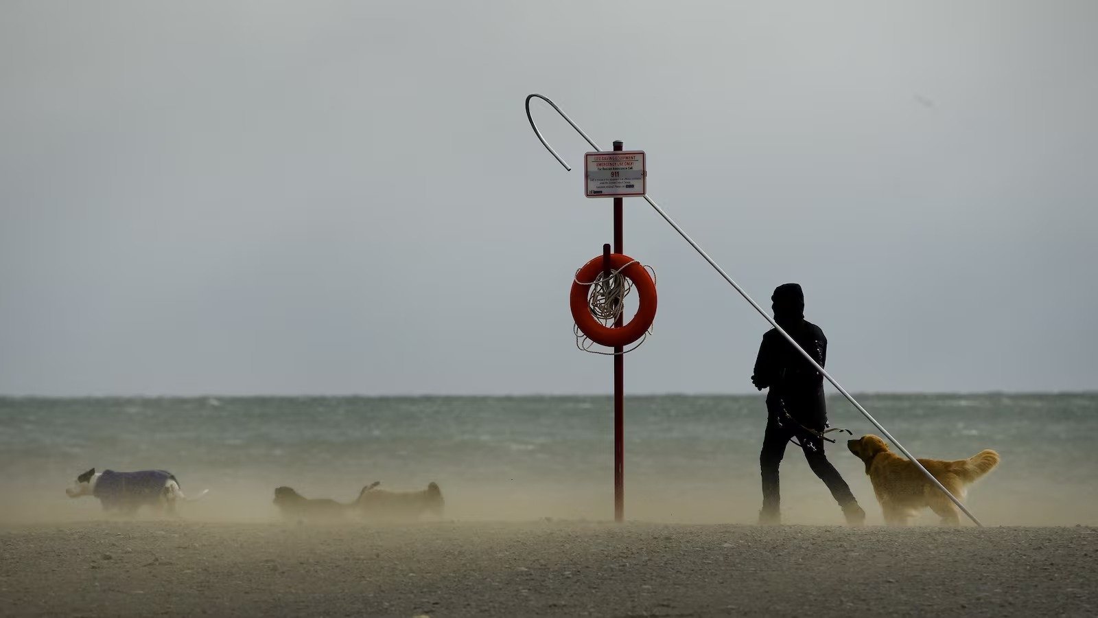
TORONTO – Environment Canada has issued a special weather statement for Toronto, warning residents that strong winds are expected to intensify throughout Monday afternoon. Forecasters anticipate southwest winds shifting to the west, with gusts reaching between 70 and 90 km/h. This high-wind event is projected to last until Tuesday morning, posing a significant risk of property damage, including broken tree branches and the potential for objects to be tossed by the wind. Localized power outages are also a possibility as the storm system moves through the region.
The weather agency notes that the onset of these powerful gusts coincides with the passage of a cold front, which will bring a dramatic shift in temperature. While Monday may see a high of 13°C accompanied by rain, the mild conditions will be short-lived. By Tuesday, temperatures are expected to plummet to -3°C, with morning wind chills potentially making it feel as cold as -19°C. Forecasters describe this sudden change as a “temperature whiplash,” advising residents to prepare for a swift return to winter-like conditions.
Public safety officials are urging Torontonians to exercise caution, particularly when driving high-profile vehicles or walking near large trees. Residents are encouraged to secure loose outdoor items like garbage bins and patio furniture before the strongest gusts arrive. Although the frigid weather is expected to persist through Wednesday, the current forecast suggests a return to more seasonable temperatures, reaching around 4°C by Thursday and Friday.